ActiveG PowerSync™ adds support for ArcGIS mobile apps
Build a bridge between Esri ArcGIS mobile apps and IBM Maximo – in minutes, not days.
We know you have been trying to do this—develop your own point integrations between Esri ArcGIS and IBM Maximo. And we don’t blame you. The latest ArcGIS applications are super easy to configure and deploy. Naturally you wish you could bridge the gap between all ArcGIS’s easy-to-use, field-ready data collection tools and Maximo’s robust asset and work management capabilities.
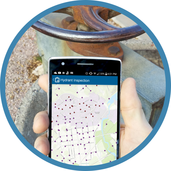
Build your web map in ArcGIS
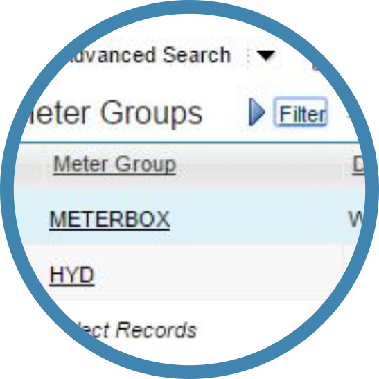
Define your meters in Maximo
Use PowerSync to connect your web maps to Maximo
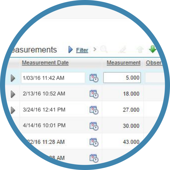
Let the data flow
Well, we’re proud to say ActiveG PowerSync 2.0 makes it possible. With PowerSync, now it’s incredibly simple for you to use cool mobile apps like Collector for ArcGIS or mobile solutions from ArcGIS for Local Government to gather asset inspection information and intelligently store and use that data in Maximo.
And the best part is–you can deploy your integrated process in minutes, not days!
Here’s how it works:
- Create your web map in ArcGIS Online or Portal for ArcGIS. Pick an app template from Esri’s vast selection of pre-configured apps, like a fire hydrant or transformer inspection app. Associate your inspection feature class to the app, and publish it.
- Set up an asset meters in Maximo to store your condition information. Create a characteristic, gauge, or continuous meter, associate it with your assets, and create your monitoring points.
- Configure PowerSync to sync ArcGIS inspection data from your GIS data source and publish it as Maximo meters. PowerSync’s intuitive user interface makes it very easy to configure the connections between GIS and Maximo. For an inspection app like our hydrant or transformer example, it can take as little as 5 minutes to set up.
- Start gathering data with your Esri mobile apps, and let the data flow.
PowerSync includes all the tools you need to speed up the configuration process, monitor the data, and get your data flowing to really unlock the condition monitoring power of Maximo and the field collection benefits of ArcGIS. And you can do it in minutes, not days with PowerSync.