Sync
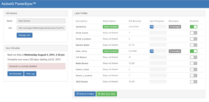
PowerSync. Build the data foundation of your ArcGIS-Maximo integration.
Visualize
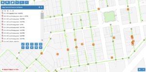
MapEngine. Visualize and interact with Maximo asset and work info anywhere.
Automate
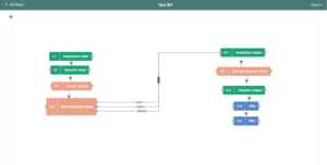
Nash Workflows. No-code workflows for ArcGIS, IBM Maximo, ServiceNow, and more.
EAM & ArcGIS Integration Since 1997
A key part of ActiveG’s mission is to make integrating Esri ArcGIS and Enterprise Asset Management (EAM) systems easy and useful. No other company offers as high a level of expert products and services to take your EAM spatial.
Spatial EAM Program
We’ve been across the desert a time or two, guiding many companies through the steep climb up the Spatial-EAM Integration pyramid. Our experts can help you ascend faster than you might think possible, and they’ll help you avoid all the pitfalls and quicksand along the way.